Booklaunch ‘Highway x City’
14 February 2017
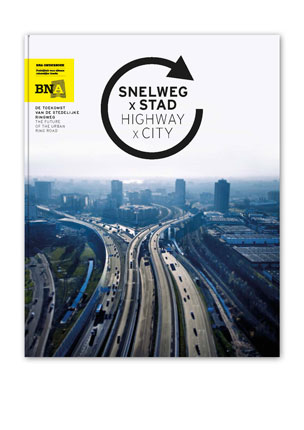
In February 2016 the design study ‘Highway and city – more livability and space’ started. Seven multidisciplinary design teams, including team VenhoevenCS, have been working on visions for the spatial challenges around the Ring roads of Amsterdam, Rotterdam and Utrecht. They explored how the relation between highway and city can be improved in terms of livability, use of space and accessibility . The designs and strategies resulting from these study are compiled in the publication ‘Highway x City’, which will be presented to the public the fifteenth of February.
Team VenhoevenCS – consisting of VenhoevenCS, SWECO, René Kuiken Urbanism en Martijn Al Landscape Design – focused their research on the future of Utrecht Science Park (USP), driver for the knowledge economy of Utrecht and part of the Healthy Urban Living Lab. Main question: How can Utrecht combine the development of a healthy city with the economic growth on the Eastside besides the highway A27, while this particular road will become two times as wide.
The research revolves around the application of new insights into sustainable mobility with a central role for pedestrians, cyclists, public transport, interactive mobility services and multimodal nodes, which connect everything. Only by focusing on the improvement of the accessibility of USP by public transport and bike, with more public space for pedestrians on the campus , the ambition of the USP, province and city of Utrecht can be realized.
The proposal focuses on a new lightrail connection between Woerden, Vaartsche Rijn de Uithof and Amersfoort, in combination with good regional bycicle connection and a second P+R facility, located next to the highway A28. At a later stage selfdriving cars and interactive mobility services can be connected to the Uithof station by making use of Kiss&Ride facilities. The propsosed combination of measures is complementary to the Uithoflijn and the future city tram to the Uithof. By efficiently arranging sustainable accessibility on a regional scale, a healthy low-traffic campus environment can arise on a local level and within walking distance of the Uithof Station. A higher building density, mixed use, smart programs, dense pedestrians networks with extraordinary public spaces in combination with attractive facilities for culture, sports and leisure are the necessary preconditions for a pedestrian environment which not only contributes to knowledge exchange and interaction, but also stimulates physical exercise and a healthy lifestyle in the area.
Other research locations were Ring Road Rotterm A13 Overschie, Ring Road Rotterdam A20, Ring Road Amsterdam A10 Gooiseweg. Ring Road Amsterdam A10 Lelylaan. The study is initiated by BNA Research, Delft Technical University, municipality of Rotterdam, municipality of Amsterdam, municipality of Utrecht, province of Utrecht and the Ministry of Infrastructure and the Environment. Main goal of this study was to explore the possibilities for a better interaction between highway and city, which is also relevant/generic for other highways in the Dutch urban landscape.
Besides research results the publication also contains essays about the subject, written by a.o. Tijs van de Boomen (journalist and city researcher), Maarten van Acker (University of Antwerp) and the researchers of the Delft Technical University. These essays show different perspectives on the theme of highway and city. During a debate, which will take place during the book launch 15 Febuary, panelists will discuss what the design studies of the teams can teach us about perspectives on action for an integral approach of these challenges.
Wonen boven het spoor moet stadsdrukte het hoofd bieden in De Architect
Zorgen voor vandaag en morgen